Research inspired by the 1940s comedy film 'Magic Town' found that Didcot represents England more than any other town being closest to the statistical median across key metrics including age distribution, employment type, ethnicity, house prices, income, marital status, property ownership and political engagement: Euroscepticism and the 2015 Election vote share.
Although the Mayor called the findings "tremendous", critical thinkers argue that the statistics don't represent the population as they didn't have a say. At the time a spokesperson for ASI Data Science stated that the research would enable decision makers to easily walk around the location and physically experience, and better understand, the local population... which is what I decided to do.
Sir Frank Williams Avenue. GWP, Didcot, England. 2019.
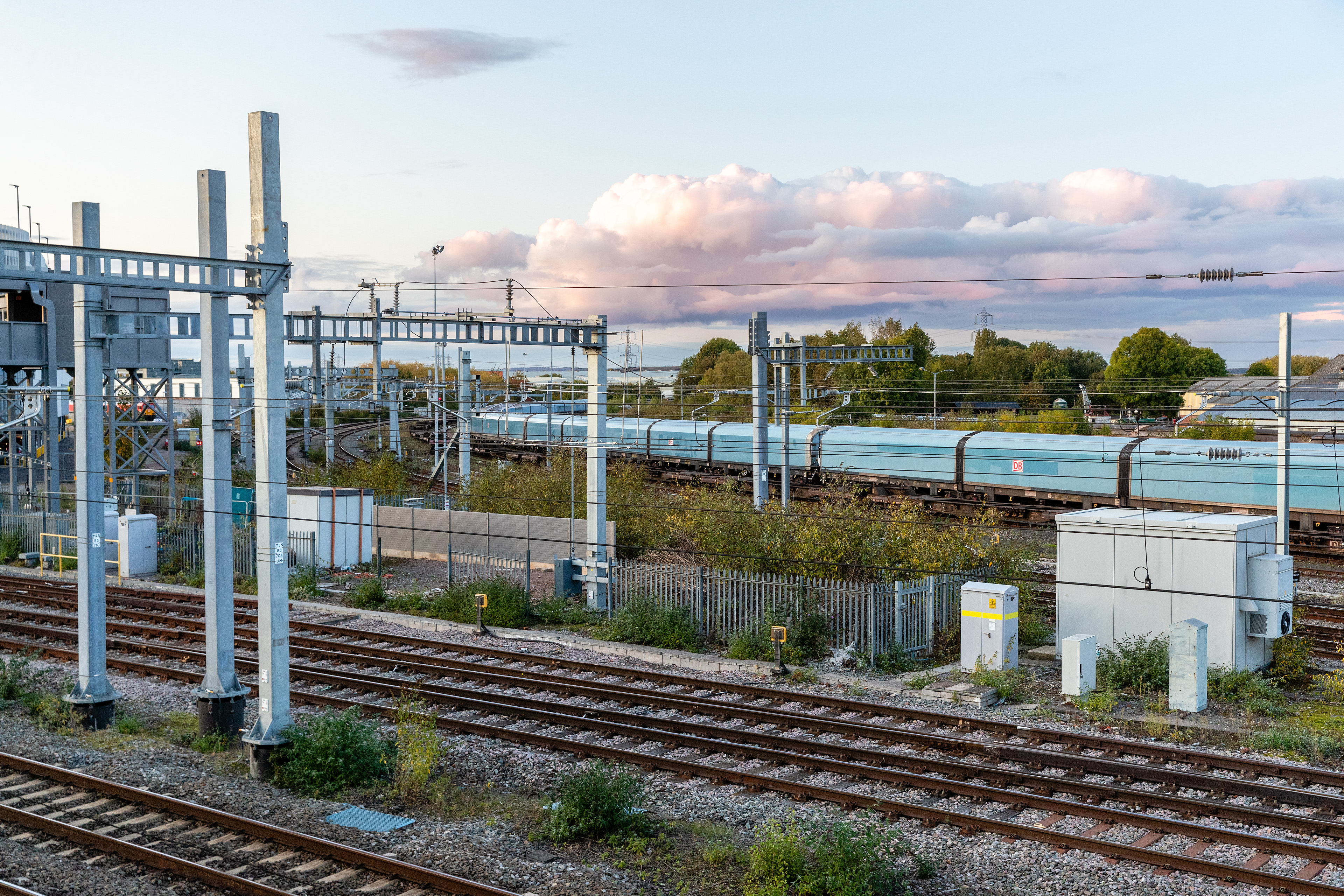
1. Didcot Parkway. Didcot, England. 2019. 2. England Upside Down. Didcot, England. 2019.
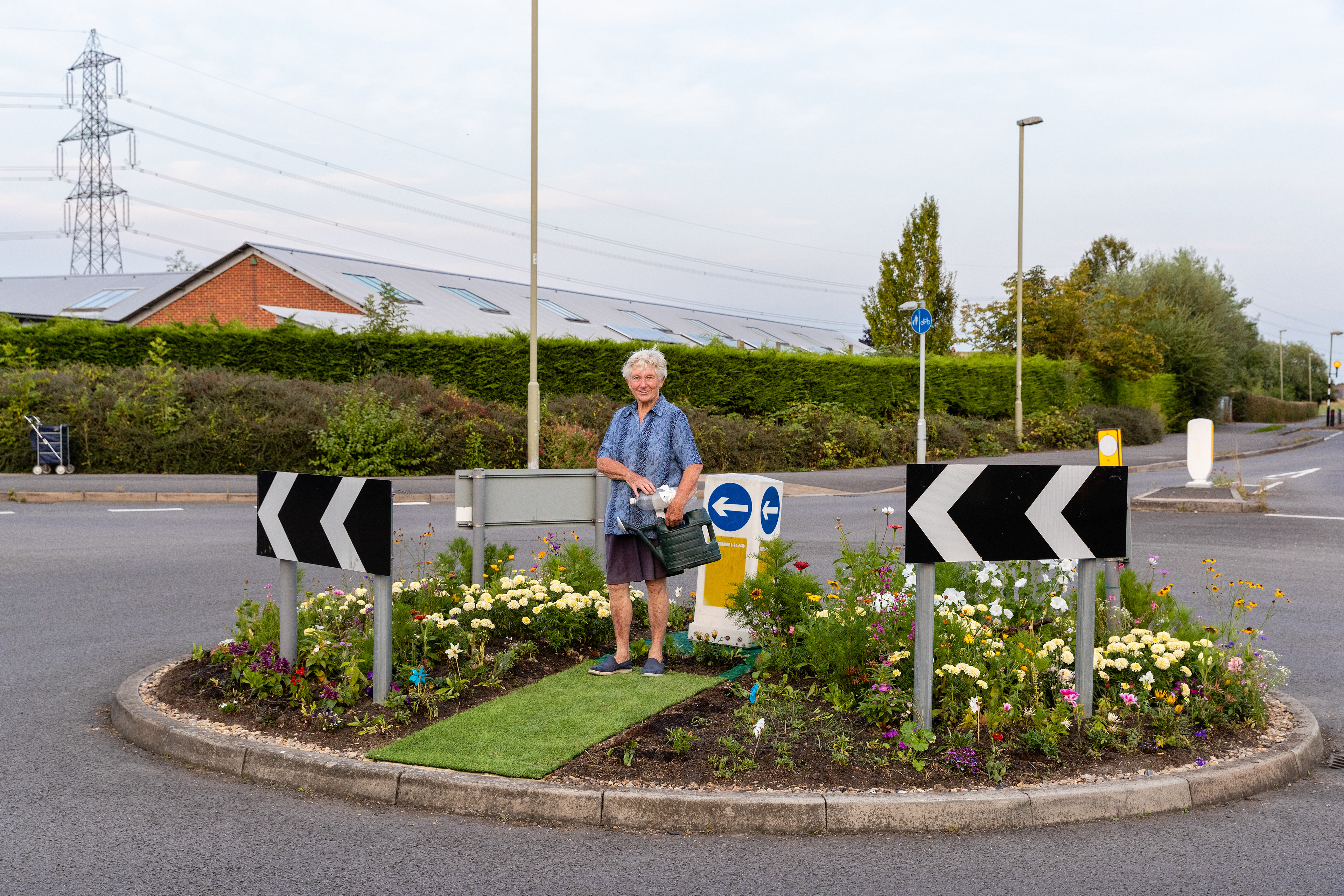
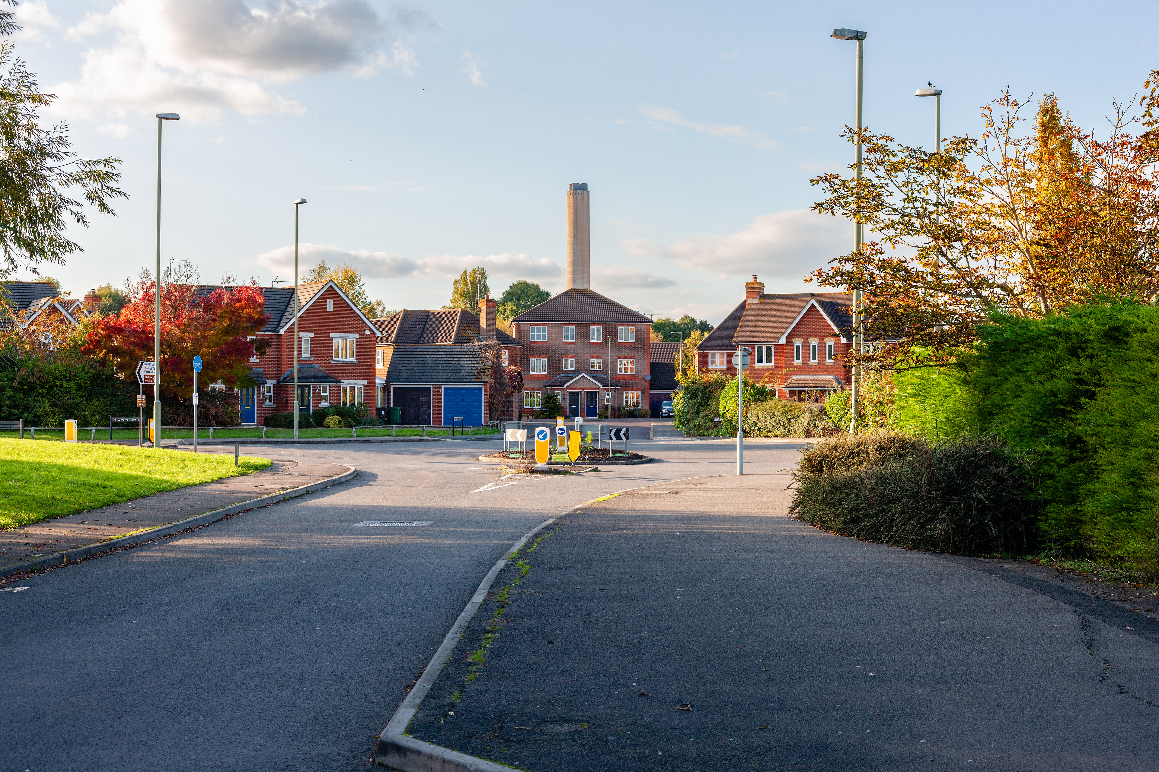
Ann's Roundabout. Ladygrove, Didcot, England. 2019.
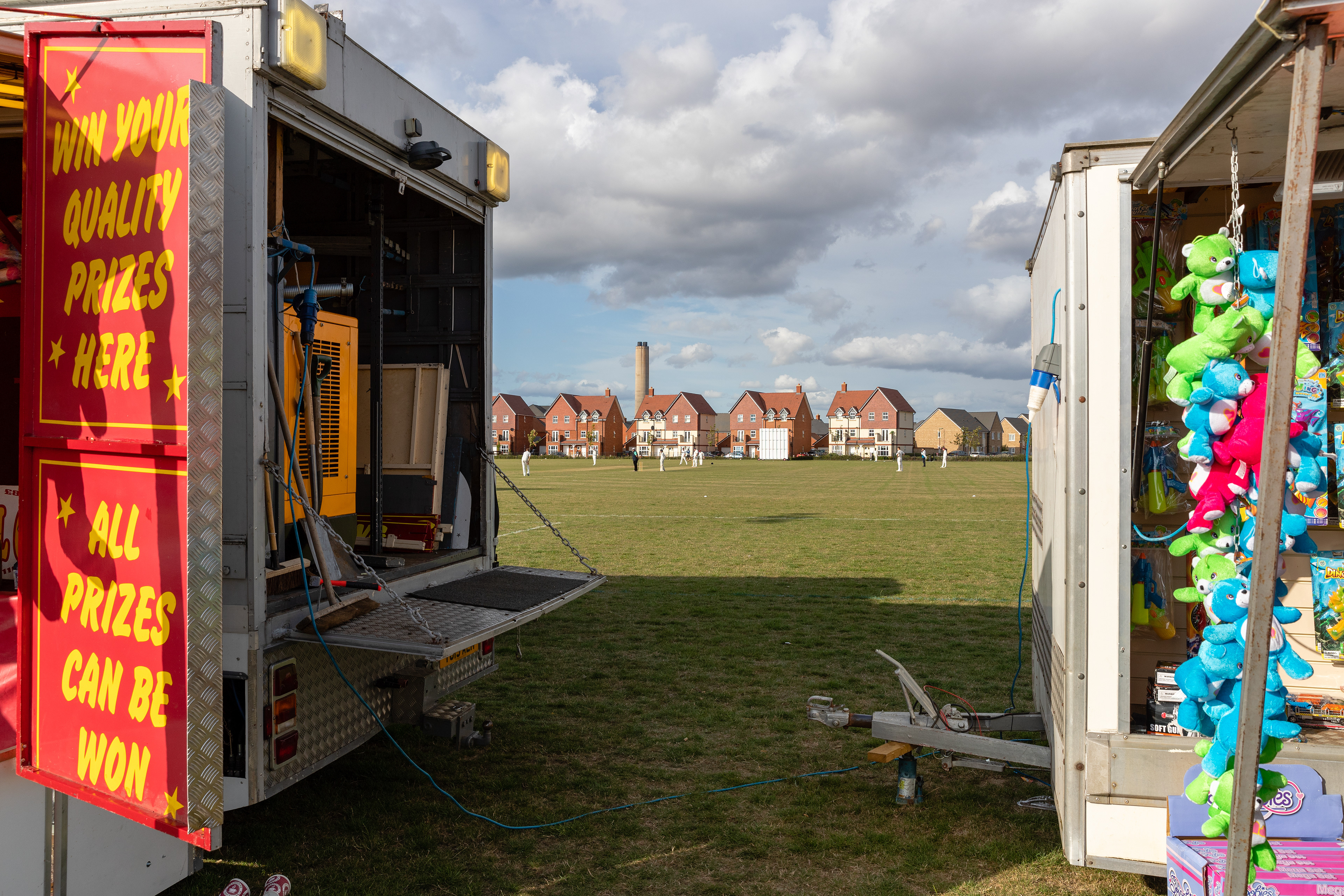
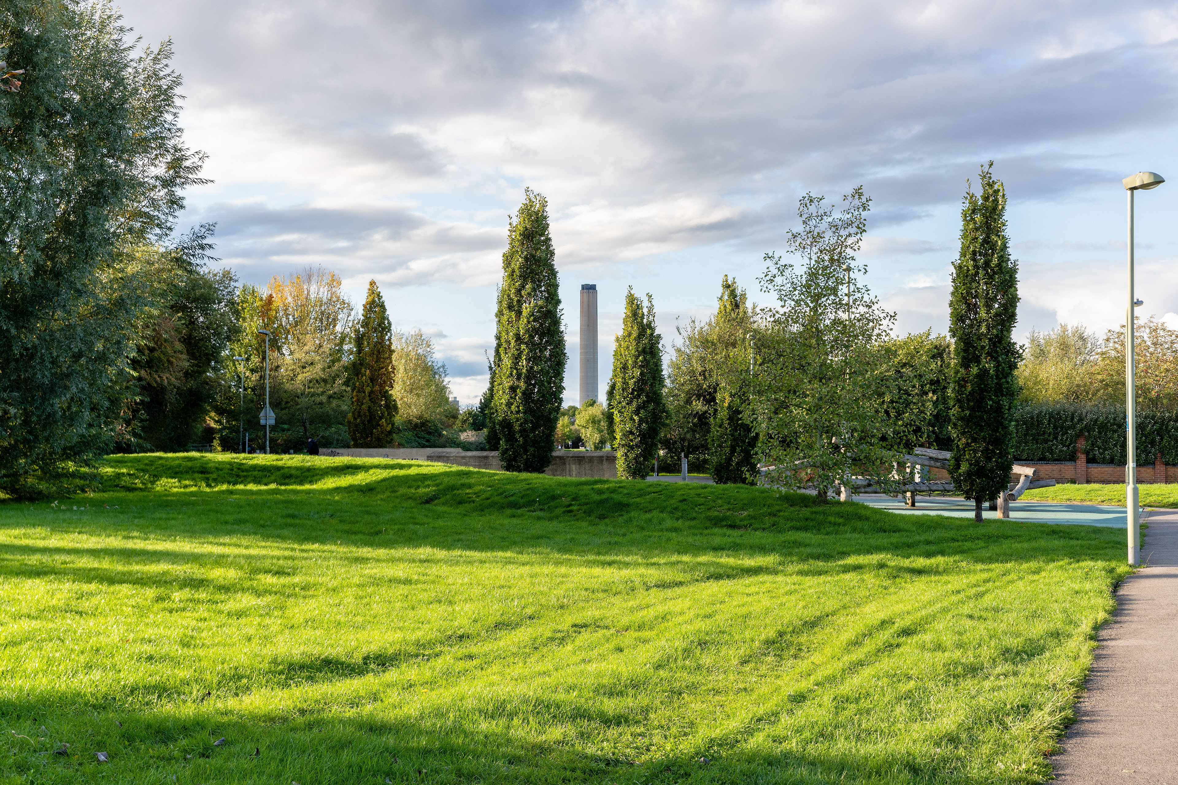
Power Centric. Ladygrove, Didcot, England. 2019.
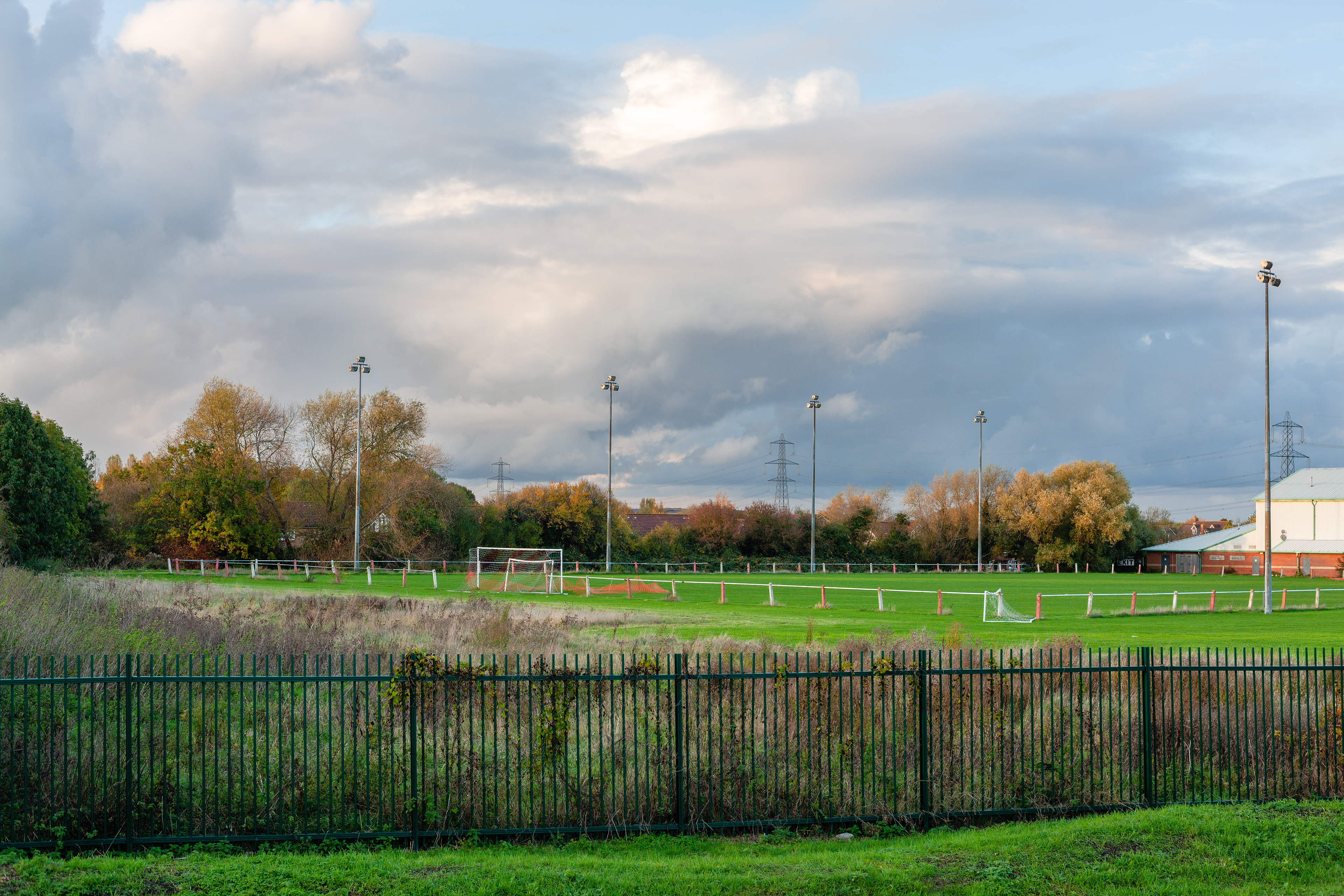
1. Fair Play. Boundary Park, GWP, Didcot, England. 2019. 2. GWR Loop Meadow Stadium Training Ground. Ladygrove, Didcot, England. 2019.
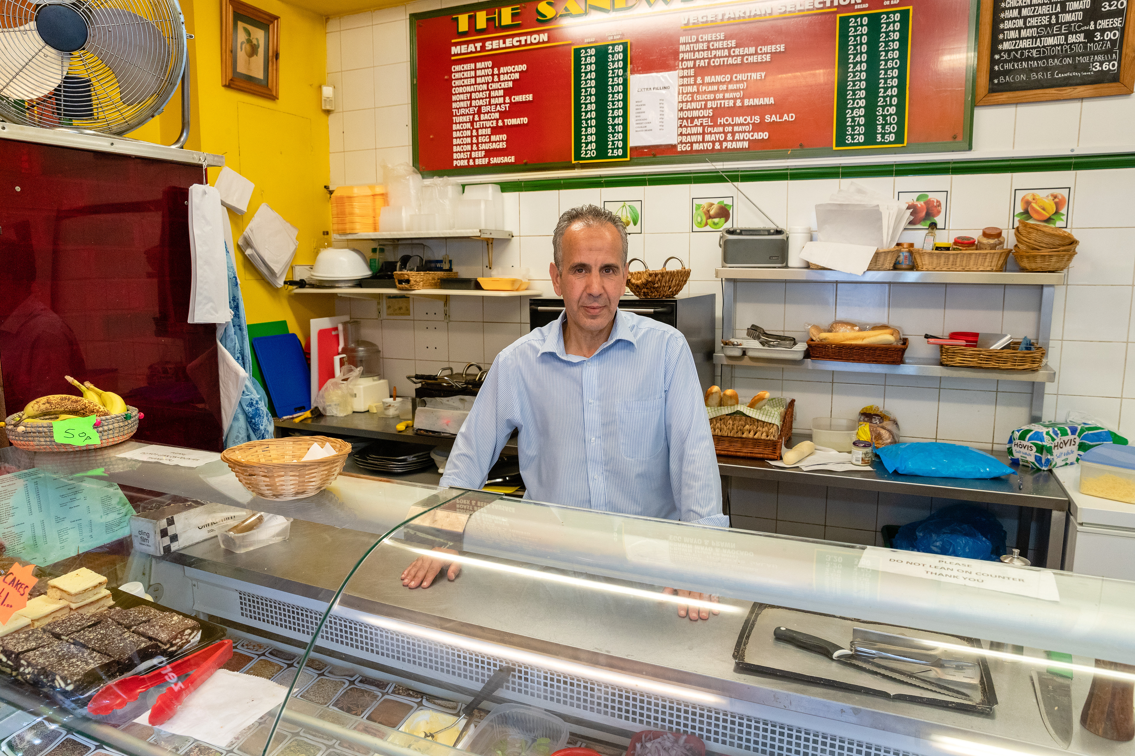
Mo. Didcot, England. 2019.
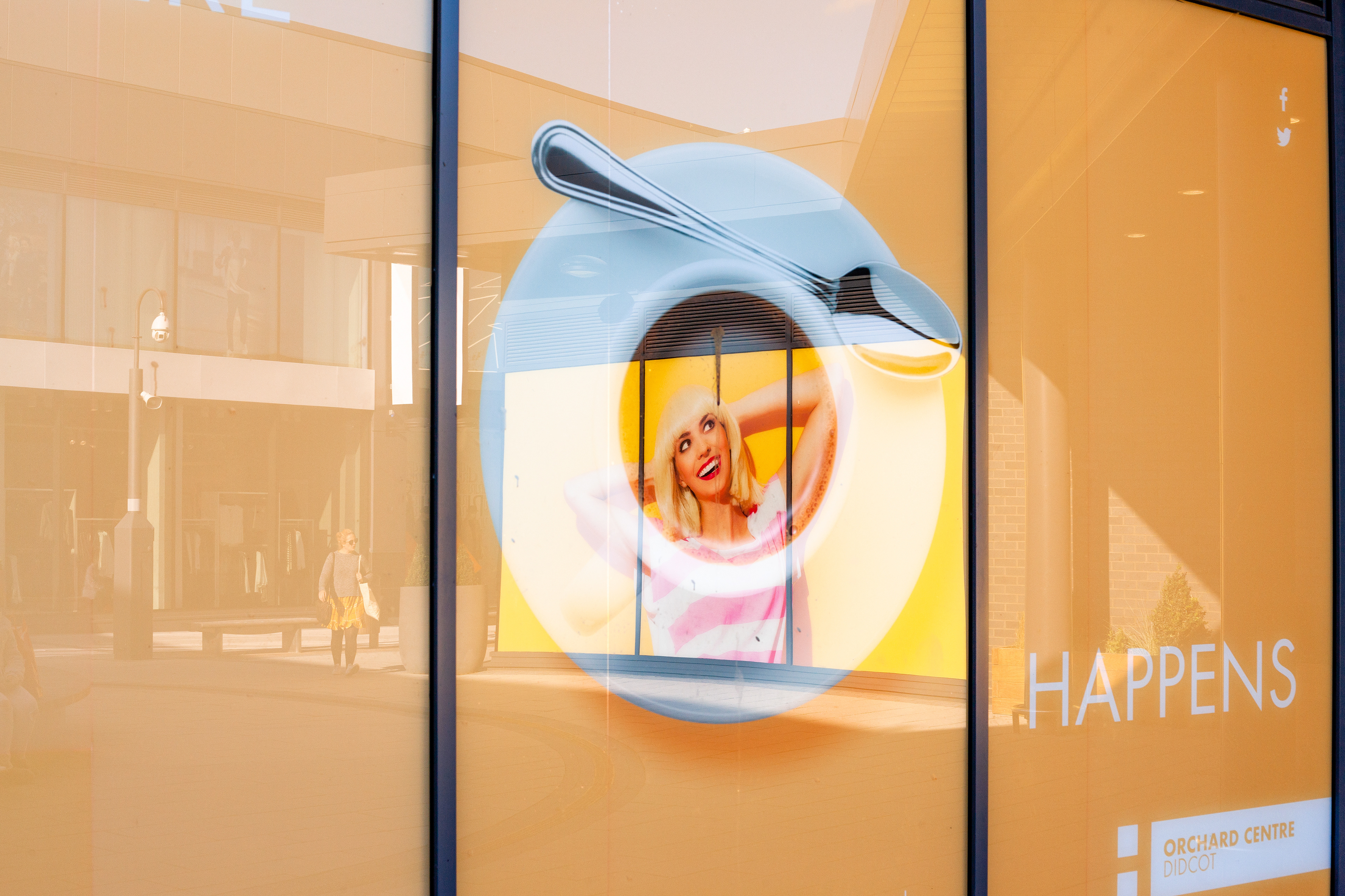
Sh!t Happens. Orchard Centre, Didcot, England. 2019.


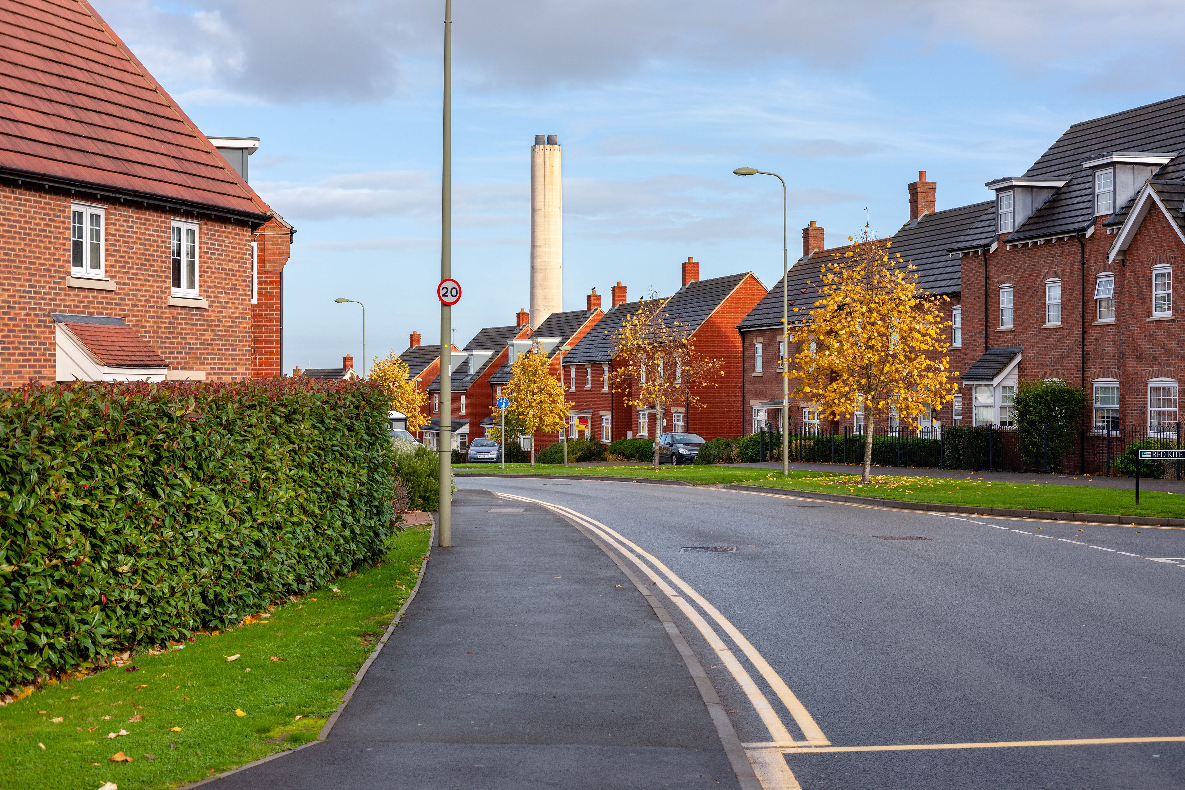
1. Wall. Orchard Centre, Didcot, England. 2019. 2. Red Kite with Clouds. Didcot, England. 2019.

'Girls With Power', Didcot's Branch of the WI, Walk for 100 Years of Oxfordshire FWI on 17 November 2019. Didcot, England. 2019.

1. Ladygrove Loop in Summer. Ladygrove, Didcot, England. 2019. 2. Ladygrove Loop in Winter. Ladygrove, Didcot, England. 2019.